


26 km | 33 km-effort

Utilisateur


Application GPS de randonnée GRATUITE
 SityTrail
IGN / Instituts géographiques
SityTrail World
Le monde est à vous
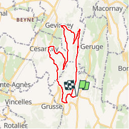
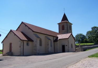
Randonnée Marche de 15,8 km à découvrir à Bourgogne-Franche-Comté, Jura, La Chailleuse. Cette randonnée est proposée par drarep.
Départ de Saint Laurent par la Vuarde en direction de Geruge. Descendre sur Gevingey et regagné Cesancey par le Col Saint Laurent. Remonter sur Saint Laurent par la Baume


Cheval

V.T.T.
Marche

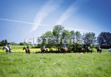
Cheval
V.T.T.

Marche
Cheval

V.T.T.

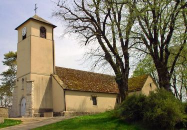
Marche